
Mapping solutions to address community needs.
Visualizing, analyzing, designing, and planning with geographic data

GIS — Bringing data together
Data collection, creation, display and analysis using powerful digital mapping tools in the field and office.

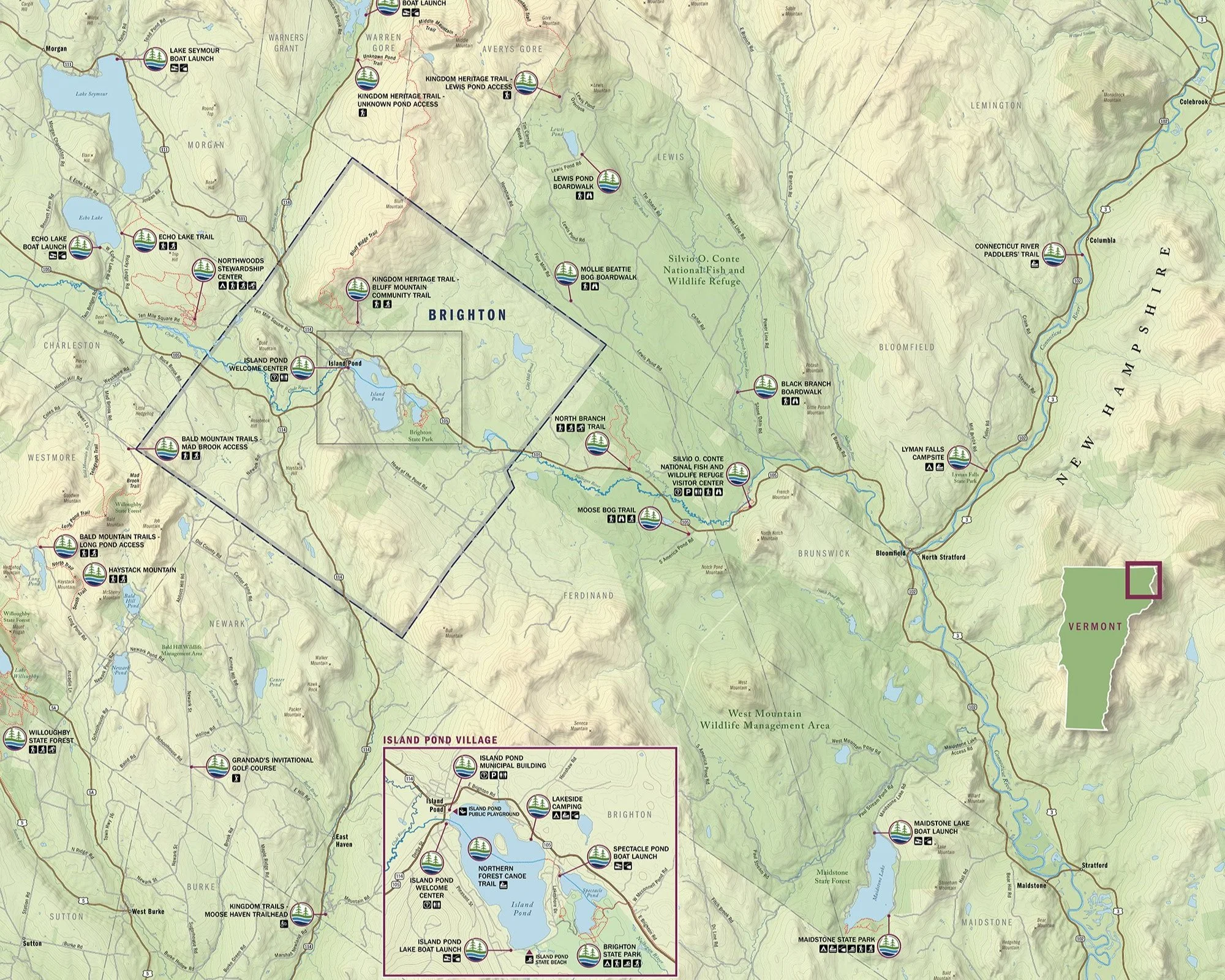
Cartography — Designing standout maps
Award-winning maps that you can put in your back pocket or mount on signs seen by thousands.

Interactive — Implementing digital solutions
Dynamic maps, mobile applications, and custom-designed websites that work across screen sizes.

Strategy— Building in-house technical capacity
Assessments of organizations’ data, systems, and skills to be more effective geotechnology users.

Branding — Creating local identity
Logo development for local communities and initiatives to promote places and products.
Trails — Increasing access to the outdoors
Assessing, identifying, and supporting barrier removal to make outdoor spaces more accessible and welcoming.
