

Maps and more.
Supporting the geographic information needs of public interest groups since 2005
GIS
Geospatial Strategy
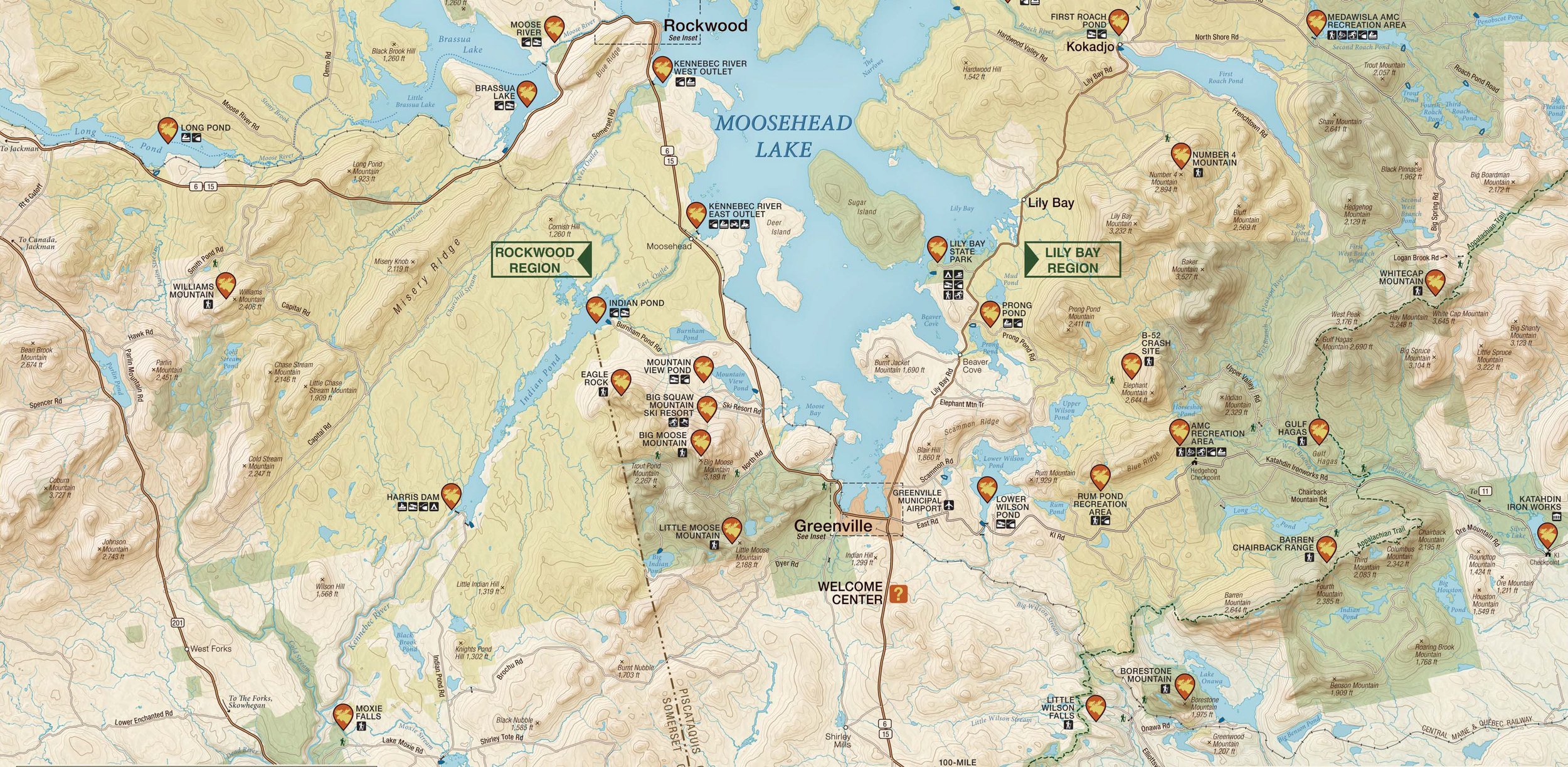
Custom Cartography
Place-based Branding
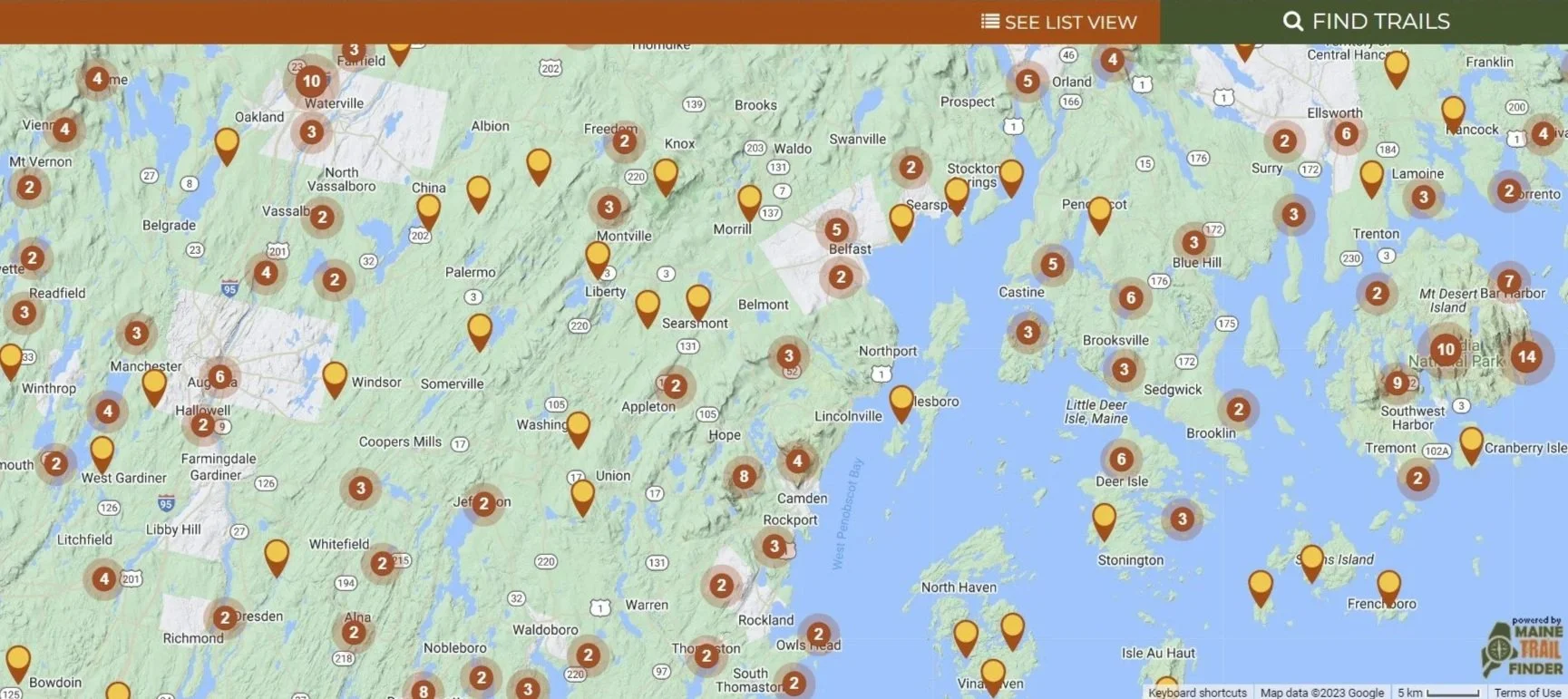
Interactive Solutions
Trail Accessibility


Supporting the geographic information needs of public interest groups since 2005